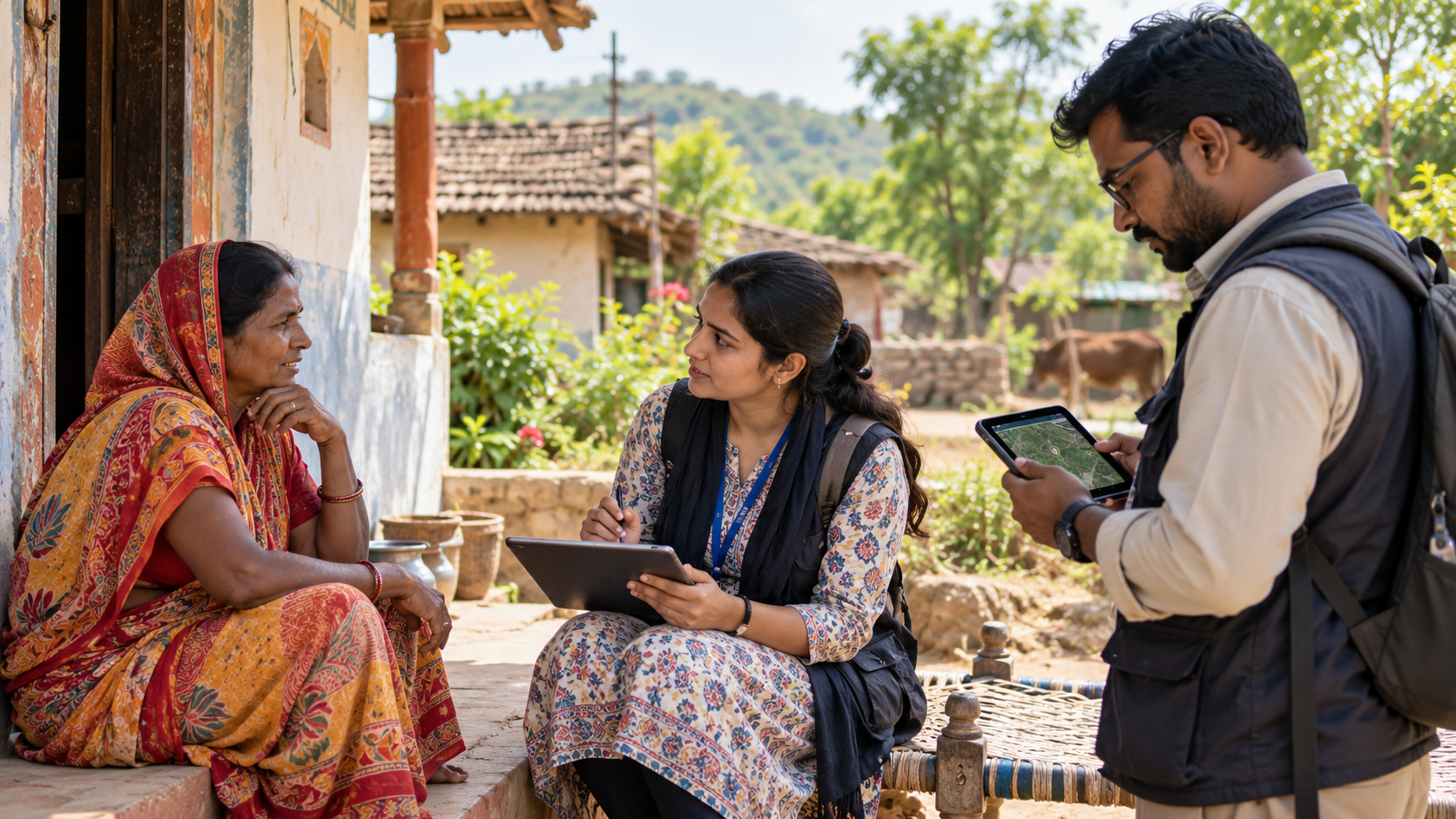
Field Research & GIS
Evidence begins where programmes meet people.
- CAPI/CATI & mixed-mode surveys
- GPS-linked verification
- Field supervision & back-checks
Datonomy Solutions combines methodological rigour, field intelligence and analytical depth to help governments, institutions and development partners design, measure and strengthen programmes that matter.



Explore selected client assignments, geographies, methods and published coverage from the Datonomy portfolio.
Each capability is distinct, but designed to work together—from generating evidence and evaluating change to communicating results and supporting technical decisions.

Evaluation systems that connect programme logic, credible measurement and management learning.

Decision-ready analytics that make programme performance visible, comparable and actionable.

Digitally controlled field systems for high-volume surveys across complex geographies.
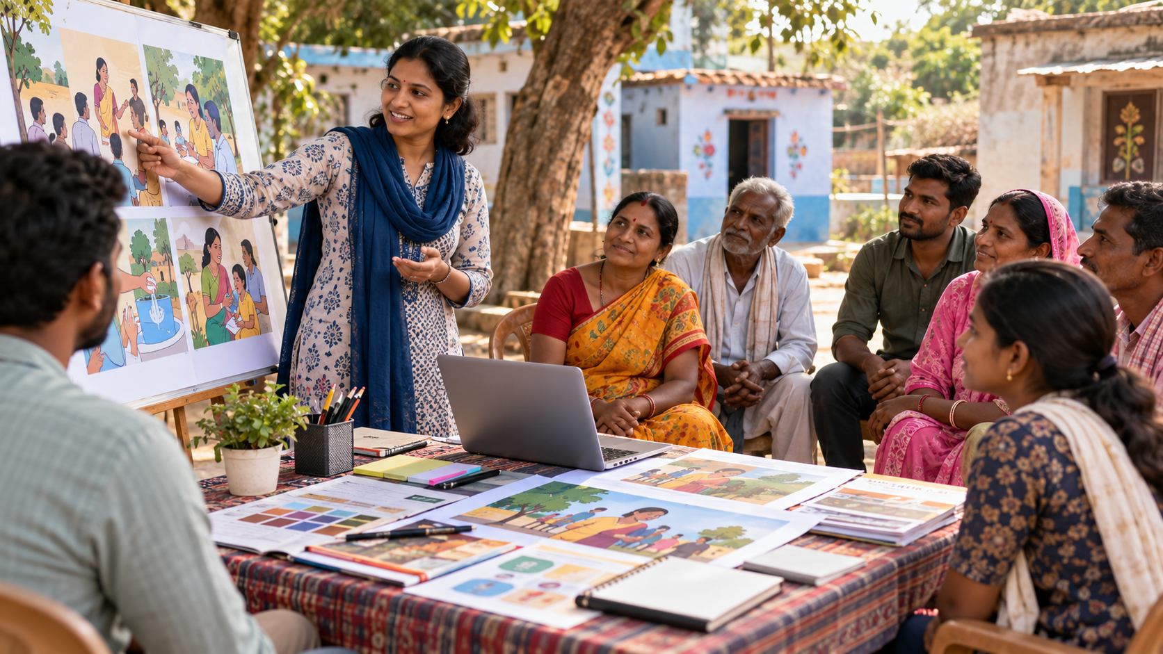
Audience-led communication that connects behavioural insight, creative execution and measurement.

Technical and spatial intelligence for planning, feasibility and infrastructure decision-making.

Analytical and technical support for solar, wind and hybrid clean-energy programmes.
Datonomy combines design, field quality, analytics and evidence-use in one delivery architecture.
Decision need, users and programme logic.
Methods, sample, tools and protocols.
Quantitative, qualitative and spatial evidence.
Validation, triangulation and quality checks.
Patterns, explanations and implications.
Reports, dashboards and recommendations.
State-level information is shown only where the current Datonomy portfolio explicitly supports it; the interface does not infer or invent coverage.
Representative examples from the published Datonomy portfolio.
Assessment of health camp performance, service delivery effectiveness, and community responsiveness under Swasthya Sewa Abhiyan. 24,682 patients were covered, alongside 70 FGDs and 90 IDIs.
View assignment →Review of programme design, inputs, processes, outputs and outcomes involving district NCD cells, CMOs, ASHAs and ANMs across five states.
View assignment →Mid-term evaluation of watershed development outcomes, livelihoods and programme governance across 6,590 respondents.
View assignment →Talk to Datonomy about an evaluation, survey, MIS, GIS assignment, communication programme, engineering study or renewable-energy engagement.